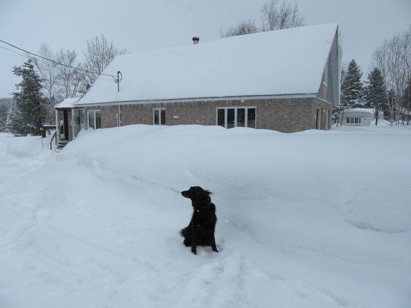
Not a good outlook for weekend riding in the Northeast:
(but the south Florida outlook is perfect weather, 85* F outside now)
As a storm runs into the warm-cool air battleground in place across the northeastern United States, areas of wintry and wet weather will occur by week’s end.
“A storm will bring a brief return to winter for some parts of the Northeast and also some beneficial rain for many during Thursday night and Friday,” AccuWeather Meteorologist Steve D. Travis said.
The zone of chilly air and subsequent wintry weather will generally be north and east of Interstate 81 and I-84 where temperatures will be held in the 30s and 40s F through the week.
South and west of this corridor, temperatures in the 50s and 60s will be more common which will promote all rain. “Where colder air is in place across New England, the Adirondacks and the Catskills, there will be a period of accumulating snow or a wintry mix,” Travis said. Travis anticipates few issues with slippery travel on Friday due to the strong March sun keeping most blacktop surfaces above freezing. Elevated and grassy surfaces will be most susceptible to accumulation. “However, where snow or a wintry mix occurs during the night, there could be some slushy accumulation on roads,” Travis said. Bridges and overpasses are most at risk for developing isolated slick spots. Syracuse and Albany, New York; Burlington, Vermont and Portland, Maine are among the communities that could face a bout of wintry weather prior to the weekend.
Commuters heading to Boston from the north and west will face a higher risk for slippery travel than in the city itself. At most, wet snowflakes could mix with rain in Boston for a brief time.
Residents and travelers along the corridor from Washington, D.C., to Boston will face occasional downpours, times of slow travel and pooling of water on roadways as opposed to any wintry weather. It is not out of the question that a few rumbles of thunder or even gusty thunderstorms with small hail cross the mid-Atlantic, including Baltimore; Washington, D.C.; Richmond, Virginia; and Raleigh, North Carolina. Any precipitation will be beneficial in alleviating the abnormally dry to severe drought conditions which are plaguing areas along and northwest of I-95 from Virginia to Maine. “Rainfall totals will generally range between a quarter to half an inch, but a few places may get upwards of an inch of rain,” Travis said. After drier air moves into the Northeast over the weekend, the stormy pattern will resume during the first week of April. At least two storms will track across the Central and Southeastern states before lifting northward into the mid-Atlantic and New England next week.
http://www.msn.com/en-us/weather/to...rtheastern-us-by-friday/ar-BByYb7g?li=BBnbfcL


